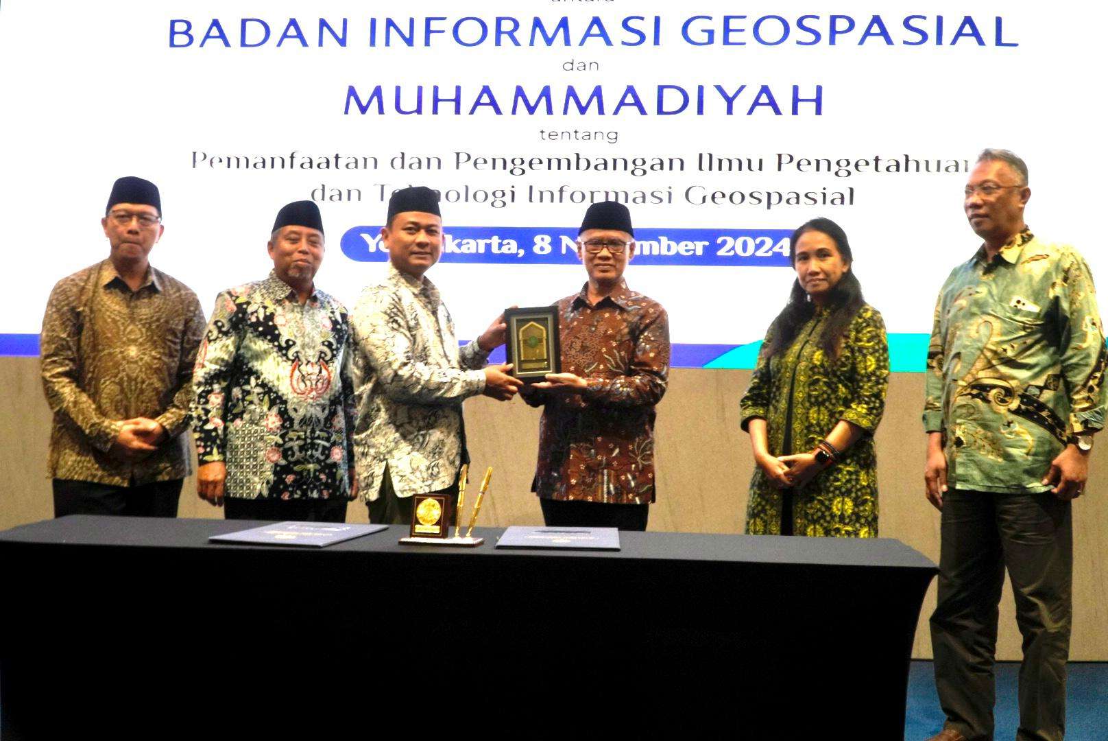
MUHAMMADIYAH.OR.ID, YOGYAKARTA – Muhammadiyah and Badan Informasi Geospasial (BIG/the Indonesian Geospatial Agency) signed a Memorandum of Understanding (MoU) to collaborate on the utilization and development of geospatial information and technology.

The signing ceremony took place on Friday, November 8, at the Universitas Muhammadiyah Yogyakarta (UMY) Dormitory. The MoU was signed by the President of Muhammadiyah Haedar Nashir and the head of BIG Muh. Aris Marfai.
The signing ceremony coincided with a training session on the Muhammadiyah Geospatial Information System. This training provided Muhammadiyah data managers with the skills to conduct participatory mapping, geotagging, spatial data management, and utilize Geographic Information Systems (GIS) software such as Quantum GIS.
Haedar Nashir emphasized the importance of this partnership in modernizing Muhammadiyah. “This collaboration will help Muhammadiyah become a more professional and modern organization, enabling us to better serve the community and the nation,” he said.
With thousands of branches and a vast network of institutions, Muhammadiyah has a significant data management challenge. Haedar expressed the need for a comprehensive data system, particularly for financial data and land ownership.
“We need a consolidated financial data system with a user-friendly dashboard,” said Haedar.
He also highlighted the importance of consolidating data on Muhammadiyah extensive landholdings (waqf lands).
“Despite having vast tracts of land, we have not been able to fully manage them. This is an immediate issue that we need to address,” he added.
Haedar urged Muhammadiyah data managers to adopt a structured, systematic, and massive approach to data consolidation.
“We need to establish a unified system to manage our data,” he said.
Meanwhile, the head of BIG Aris Marfai expressed his appreciation for the partnership. He highlighted the potential of geospatial data when used effectively.
“Geospatial data is a powerful tool that can be utilized by both the government and organizations like Muhammadiyah,” he said.
Aris explained the concept of a ‘one map policy’ that all thematic maps produced by government agencies share a common standard, database, and reference. This ensures data consistency and facilitates analysis.
Following the signing ceremony, an intensive training session was conducted for 80 participants, both in-person and online, to equip them with the necessary skills to implement the new data management system. The training will continue until Saturday, November 9.


